Tax & GIS Mapping Services
About The Project
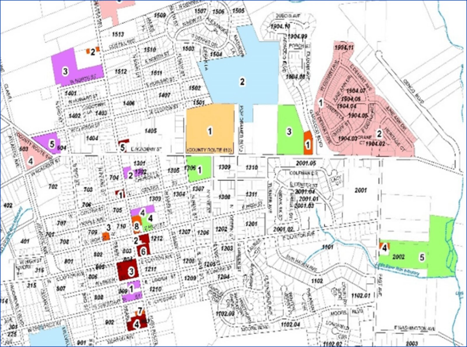
RVE is providing multiple tax and GIS mapping services to Gloucester County including revising, updating and creating tax maps to meet current State mapping and new State CAD standards. Deliverables will include a true to scale Autodesk AutoCAD and Esri ArcGIS geodatabase file submission. The County’s goal is to perform routine maintenance and GIS implementation services on digital tax maps that meet the State Regulations and Standards for each of its 24 municipalities. The County needs to support its internal systems (GIS, MOD IV, etc.) as well as comply with other governmental data integration standards including New Jersey Office of Information Technology (NJOIT). RVE has developed a detailed project protocol to manage the workflow of tax map maintenance for all municipalities within Gloucester County. This system is based on our experience working with multiple municipalities on tax map maintenance, constructing multiple digital tax maps annually and our direct experience with the Division of Taxation on tax map maintenance and municipal integration into a countywide system. RVE is providing the following services to the Office of Assessment: Use of RVE Coordination Portal to manage, coordinate and track changes to tax maps; Digital Tax Map maintenance and updates conforming to the current Tax Map Regulations and Standards; Integrating the County’s process with the RVE Coordination Portal to execute line-by-line comparisons between the MOD IV data and the corresponding tax map plate(s); An in-depth understanding of computer applications, including the development, use and recommended modification to the County’s GIS mapping and GC Maps system; An electronic filing system integrated with GC Maps for access to complete individual municipal tax map booklets via *.dwg and *.pdf file formats.
RVE has developed a detailed project protocol to manage the workflow of tax map maintenance for all municipalities within Gloucester County